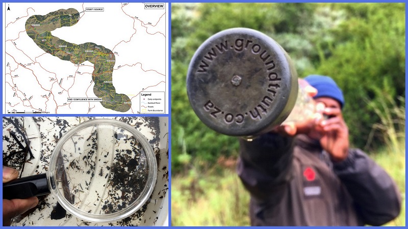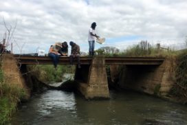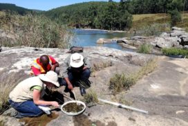
The 2017 Catchment to Confluence Karkloof River Walk was an initiative of the Karkloof Conservancy, undertaken in partnership with WWF-SA, Endangered Wildlife Trust and Ezemvelo KZN Wildlife Lions River Honorary Officers. GroundTruth provided technical support directing the measurements and assessments that would be undertaken during the walk, and analysis of the data collected.
The goal of the Karkloof River Walk was to determine what the current condition of the river was like at various points and to identify areas that would need attention in order to improve the condition of the river.
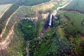
The Karkloof catchment is located in the uMgungundlovu District Municipality, KwaZulu-Natal and in the uMgeni River Catchment. It is a major contributor to the uMgeni River and Albert Falls Dam, one of the main water resources for Durban, South Africa’s third largest economic hub.
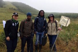
The river walk covered approximately 65Km of river and took 6 days to complete. The core walkers were Twané Clarke (Karkloof Conservancy), Sue Viljoen (WWF-SA), Nduduzo Khoza (Endangered Wildlife Trust) and Ayanda Lipheyana (GroundTruth). Simon Bruton and Jenna Taylor (GroundTruth) stepped in as substitutes for a day each. Representatives of SAPPI and other landowners joined the walk on various days.
The findings from the river walk indicated that in general, the river was in a fair to good condition. There were a few areas where impacts were more intense, but these were most often of a very limited extent.
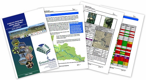
Karkloof River Walk Report
The aim of this assessment was to determine the current biological condition of the Karkloof River from its source to the confluence with the uMgeni River. A total of 37 sites were assessed during the 65km walk, and the results from the assessments are present for each site and summarised per day of the walk in the report.
The methodology that was applied drew on the latest citizen science tools available within South Africa for the assessment of ecological systems for aquatic and riparian biota.
Methods included:
- Biological assessment (miniSASS): Using the presence of aquatic invertebrates to determine river health.
- Riparian Health Audit (RHA): Used to assess the habitat integrity of rivers such as bank erosion, flow modification, exotic vegetation, litter and various other visual indicators.
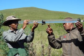
- Physico-chemical water quality: in-situ collection of a suite of water physico-chemical determinants including electrical conductivity, clarity, pH, dissolved oxygen, temperature and total dissolved salt.
Generally, the river had minor impacts that were distributed over wide reaches whilst intense impacts were very localised. Overall the river walk found the Karkloof River to be in a fair to good condition.
Daily Accounts of the Karkloof River Walk
River Walk Toolkit
One of the aims of the Karkloof River Walk was to inspire landowners in other catchment areas to do an audit of their river system. The report and information gained from this project has allowed us to understand the full nature of our freshwater resources and provide a way forward to better manage this scarce resource for all downstream users to benefit.
The amount of planning and resources required to do a river walk will depend on factors such as the size and nature of your river, the topography and the adjacent land uses. It will also depend on what type of river walk you choose to do. It could be the full river from Source to Confluence (Karkloof River Walk) or Source to Sea (DUCT River Walk along the Mngeni), or it could even be a small section of river within your community.
GroundTruth have developed the River Walk Toolkit based on their experience with the 2017 Karkloof River Walk to help guide others. It outlines some considerations when planning a walk, and describes the resources and tools which may be of use.
