Article by Dr Jolene Fisher (Vogts), School of Animal, Plant and Environmental Sciences, University of the Witwatersrand.
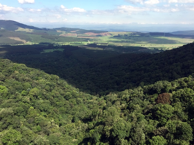
Mistbelt forests historically occurred within a pristine grassland matrix – found on steep south-facing slopes where they are protected from fire and found as ‘pockets’ of forests throughout KwaZulu-Natal. Sadly, from around 1880 until 1940, many of these forest patches were cleared by colonialists wanting to harvest the wood for timber, the evidence of sawpits and sliptrails are present in most of our forests to this day.
Sawpit in Marutswa forest, KZN
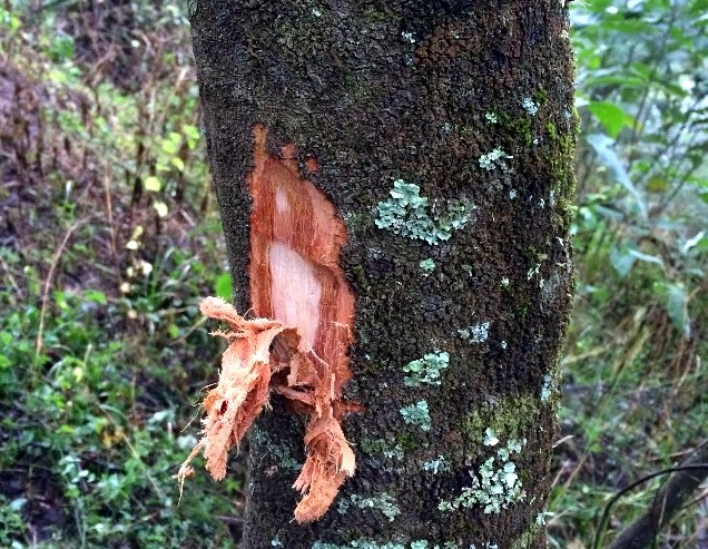
Our forests have slowly been recovering from the devastation almost 80 years on, but they’re faced by new challenges that put them at risk. Around 70% of all mistbelt forests occur within 1 km of a rural settlement, where people are reliant on natural resources and harvest both timber and non-timber forest products (NTFPs) such as medicinal plants, including bark from species like the Black Stinkwood (Ocotea bullata) and Red Stinkwood (Prunus africana).
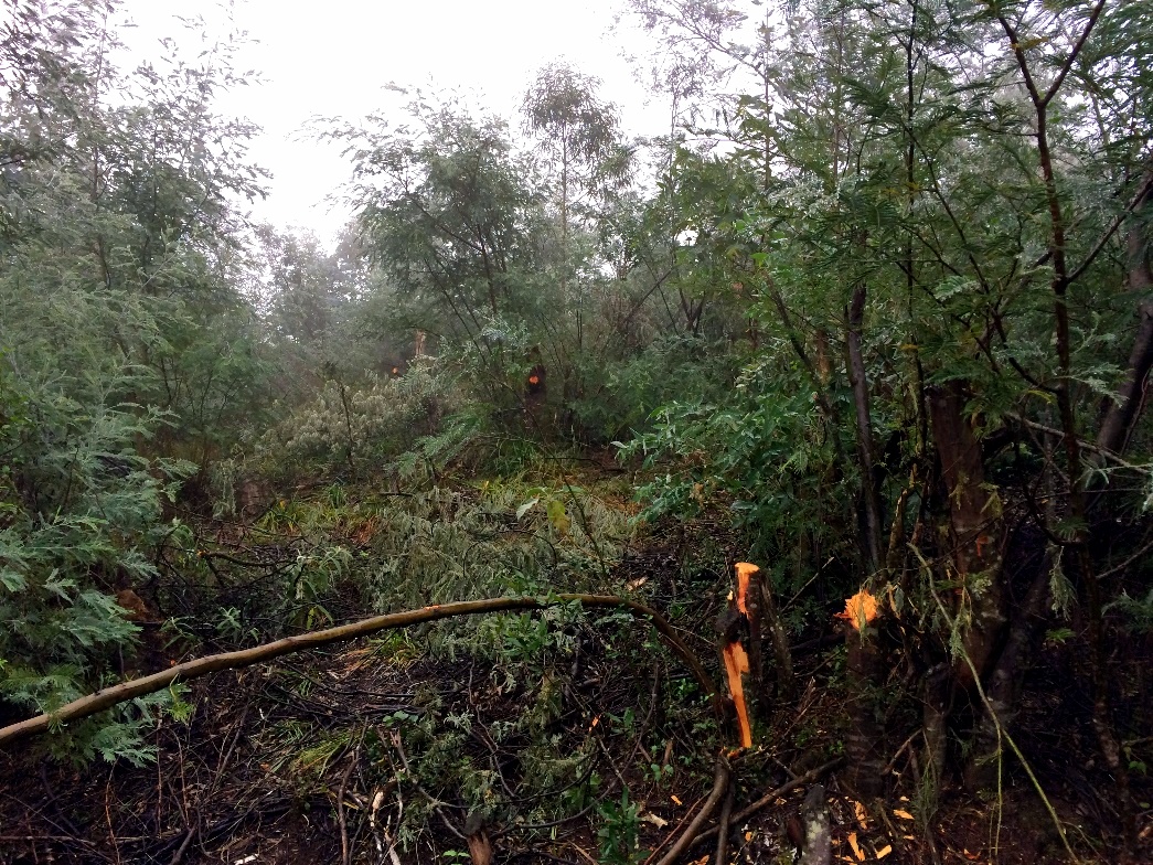
Thankfully, fuelwood is unlikely to be harvested from these forests, as wattle is a preferred species, but what we have seen are Wattle groves planted on the edges of forests. Since invasive alien plants are great at spreading, having them at forest edges promotes the spread of these invasive plants into the centre of forests, competing with native species for resources such as light and nutrients.
Wattle grove on the outskirts of Marutswa forest.
The forests are undergoing changes in structure, and the high human and cattle traffic through these areas encourages the spread of invasive plants; many forests are being invaded by Wattle, Bugweed and Mauritius thorn.
Ultimately, mistbelt forests are still under threat, and are undergoing changes in structure and species composition. Only ~8% of the forests are statutorily protected spanning both the Eastern Cape and KwaZulu-Natal, South Africa. However, due to the ecology of the forests, they are notoriously difficult to measure and monitor. They occur over hundreds of kilometers, and range in size from 350 m2 to 16 km2. These forests also occur on steep slopes, making field data collection time consuming and dangerous.
So we’re looking for a different, more efficient way to monitor mistbelt forests. Remote sensing is one such method. This refers to the method of obtaining information about an object or area without being in direct physical contact with it. An easy example is Google Earth – various types of satellite imagery that we use to view the earth. But we don’t just want to know the extent of the forests, but also the quality, and thus structure, of these forests. I started off this research when I got LiDAR (Light Detection and Ranging) imagery for a forest in the Dargle. LiDAR is amazing, it’s a 3D point cloud of all the trees in the forest, and allows us to measure tree height and canopies.
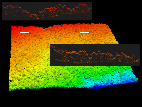
Cross section through two parts of Dargle forest, showing different tree structures in each area.
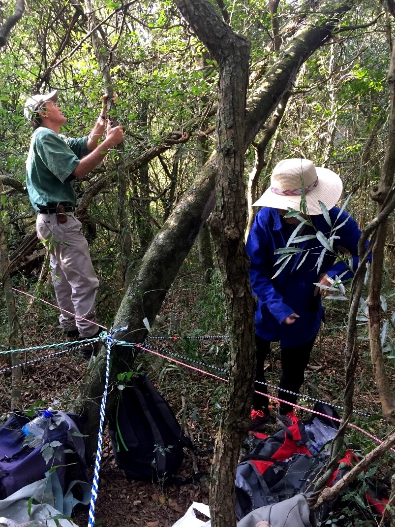
All this imagery is great, but it’s not worth anything if we don’t have measurements on the ground to compare it to. A few times a year I traipse into the forest with a team of helpers to measure tree height, stem diameter and record species. We do this for circular areas of 30 m radius and try do as many of these as possible. The equipment is simple: rope, tape measures, a laser distance meter and binoculars. We also tag the trees with a small aluminium tag with a number on it. This number corresponds to our data sheets and enables us to do follow up monitoring of tree growth.
So far we have collected data in Marutswa Forest, the Dargle Conservancy and in some parts of Karkloof forest. The Karkloof sampling took place in September 2017 and we only managed to get 8 plots done, it was tough going! The reason we need large sample sizes is to increase the accuracy of our relationship with the remotely sensed imagery. I only have the 3D imagery for the Dargle forest, and the plan is to use that to ‘train’ other, cheaper/freely available imagery to be used across all the forests in KZN. This will allow us to monitor the state of the mistbelt forests and so there’s an early warning signal if anything is putting them at risk, and allow timeous interventions.