![]()
Clamber (verb): to climb or move in an awkward and laborious manner, typically using both hands and feet.
This sums Day 1 up quite adequately, especially whilst we were trying to find the source of the Karkloof River! The source proved to be well hidden within a thicket of Ouhout, Leucosidea sericea, mixed with some other indigenous shrubs and trees such as the Nana-berry, Searsia dentata, and a few ferns and creepers.
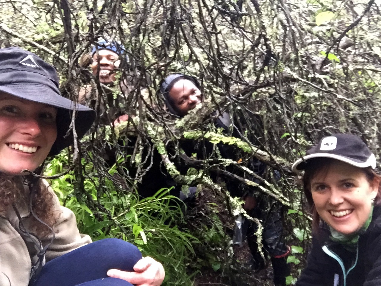
The river walk team at the source of the Karkloof river
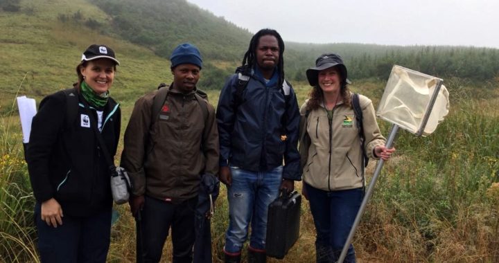
The river walkers were ready to start their intrepid journey of the first 10.6km of the Karkloof River at 7am, with a light misty drizzle – typical of the Midlands mistbelt. Our team comprised of Twané Clarke of the Karkloof Conservancy, Ayanda Lipheyana from GroundTruth who do routine water quality monitoring for the Karkloof Irrigation Board, Sue Viljoen of WWF-SA who have been working on a number of Water Stewardship initiatives in the Umngeni catchment, and Nduduzo Khoza an Eco-Ranger for the Endangered Wildlife Trust (EWT).

Off we go… From left: Sue Viljoen (WWF-SA); Nduduzo Khoza (EWT); Ayanda Lipheyana (GroundTruth); and Twané Clarke (Karkloof Conservancy)
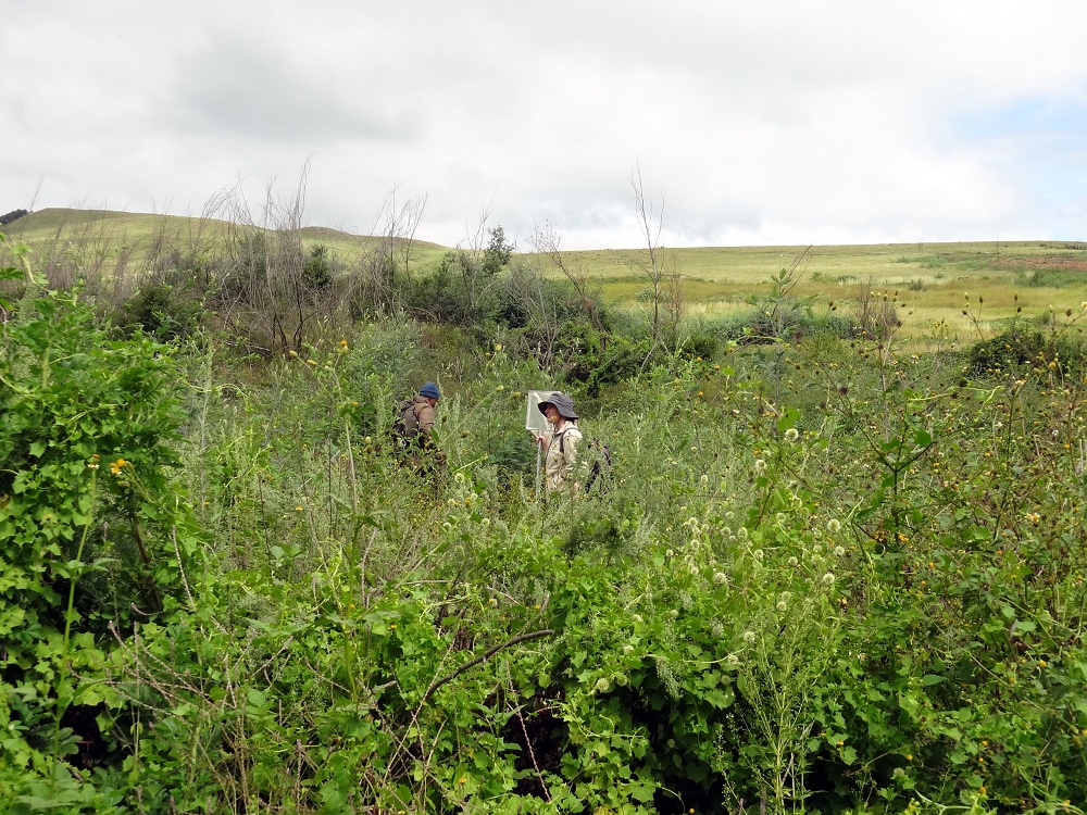
The team followed the stream until they reached a sight with sufficient water to begin the first set of water quality sampling techniques. These methods will be repeated down the length of the Karkloof river to build up a better picture of the river’s current status quo.
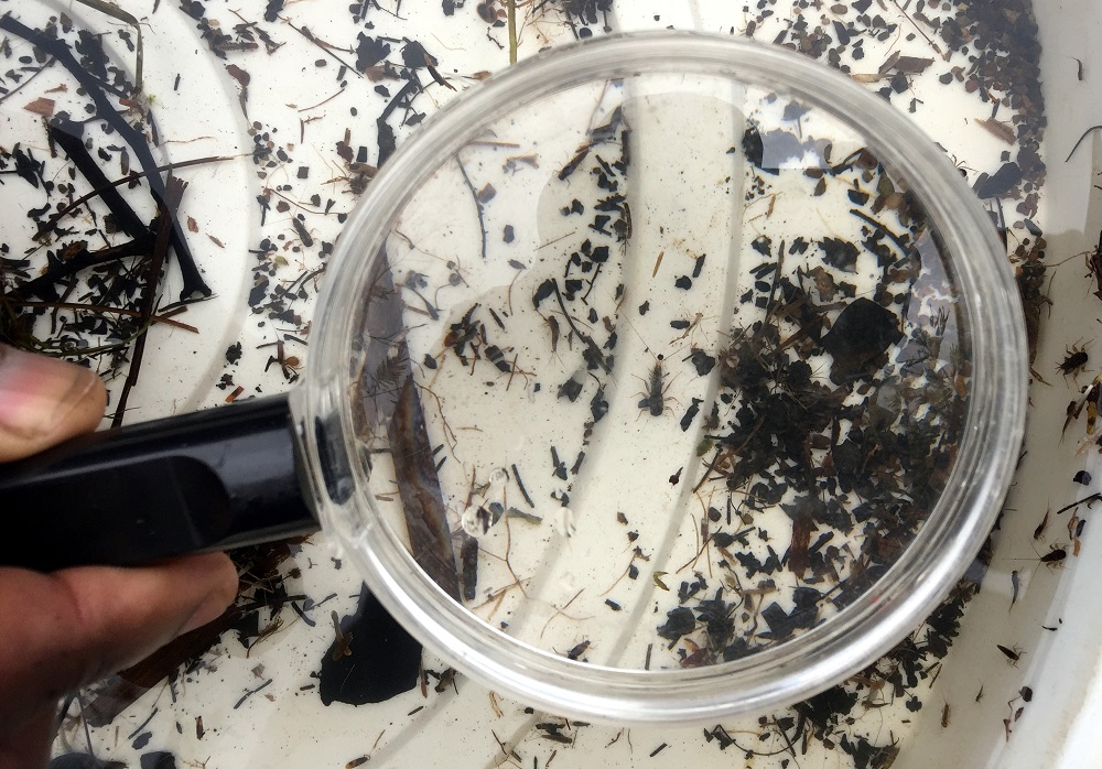
MiniSASS – identifying the invertebrates to determine river health
Tests included a miniSASS (using aquatic invertebrates to determine river condition), a Riparian Health Audit (RHA) and taking water quality readings such as pH, clarity, dissolved oxygen and temperature. All results have been captured on smart devices using a new app called GeoODK, which GroundTruth have customised for river monitoring purposes.
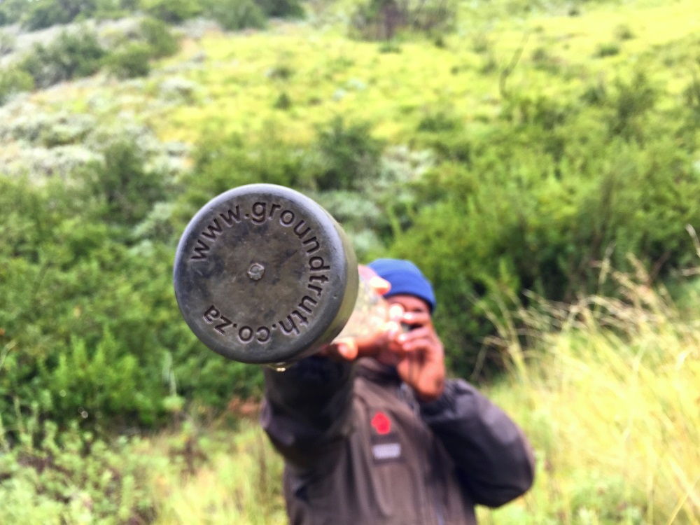
Testing the clarity of the water
Most miniSASS tests indicated good condition, with one site boasting near natural conditions. The highlight of the day was finding an elusive Stonefly at this site which is known to be the most sensitive invertebrate to river impacts.

Yes folks, that little insect made our day!
The site that only had a fair condition was possibly indicating the impact of erosion, invasive alien vegetation and log jamming.
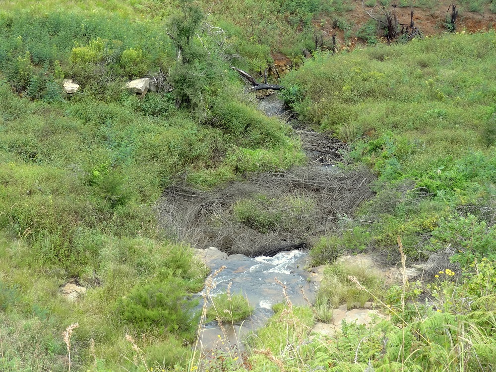
An example of log jamming. Removing these obstacles in the river will make a world of difference.
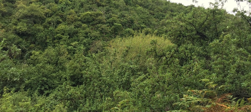
We were all fascinated by the abundance of Ouhout growing along drainage lines, gullies and riverine areas. We’re particularly interested to find out from the locals about the history of this area and whether these trees have always been here or if it has gotten denser through the years – ideas welcome.
Overall, we were quite surprised by the extent of the impacts so soon in the river’s journey. Wattle, Bramble and Blackjack are prevalent and will require large scale and carefully planned clearing, with assistance of other organisations, if the vision of an alien free Karkloof river is ever to be realised.
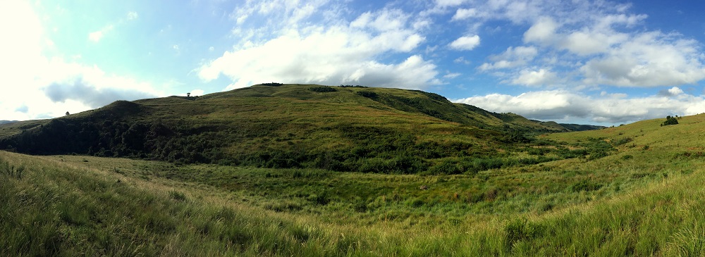
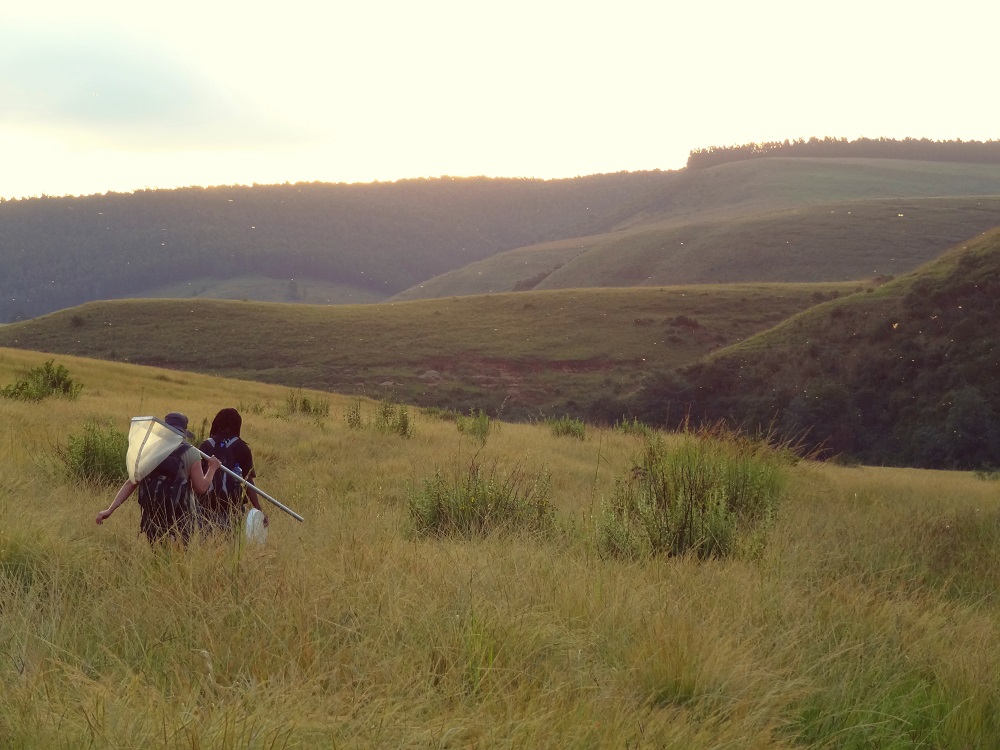
We were also treated to some of the most beautiful scenery,
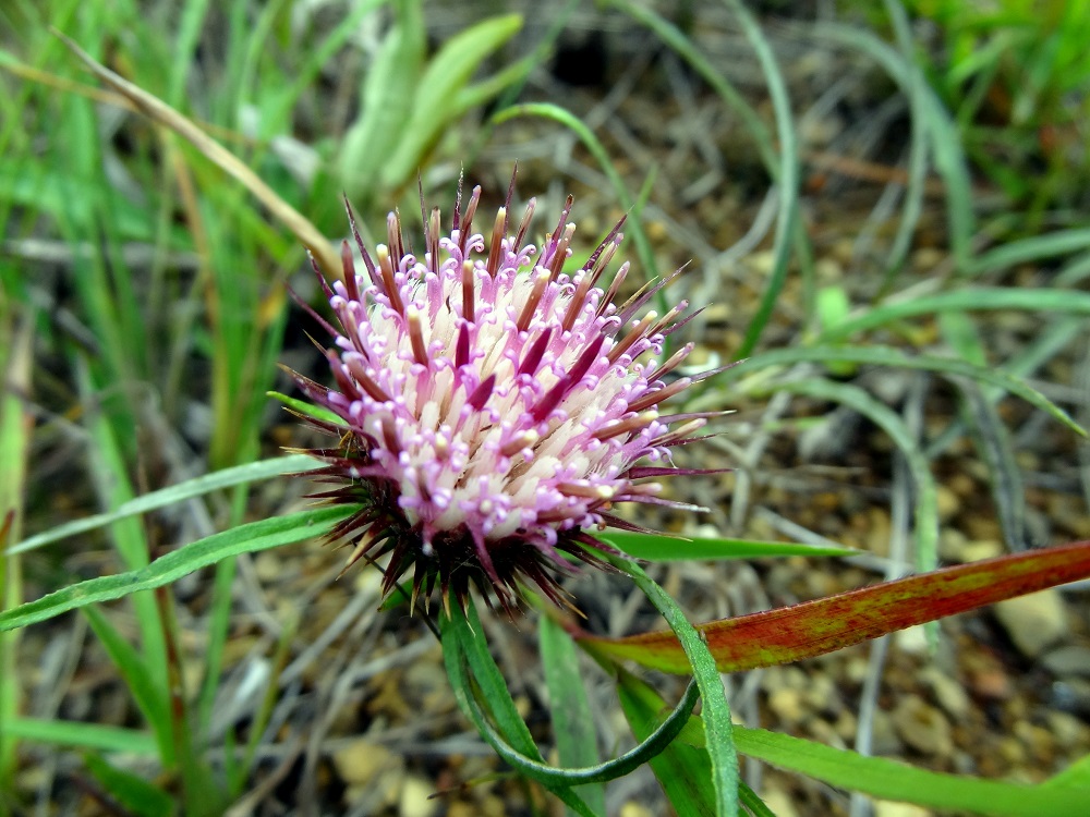
unique flowers,
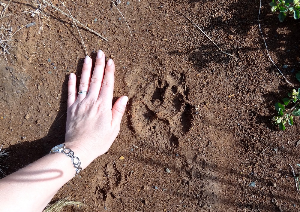
spoor of what we suspect to be a Brown Hyaena that we followed for a while,
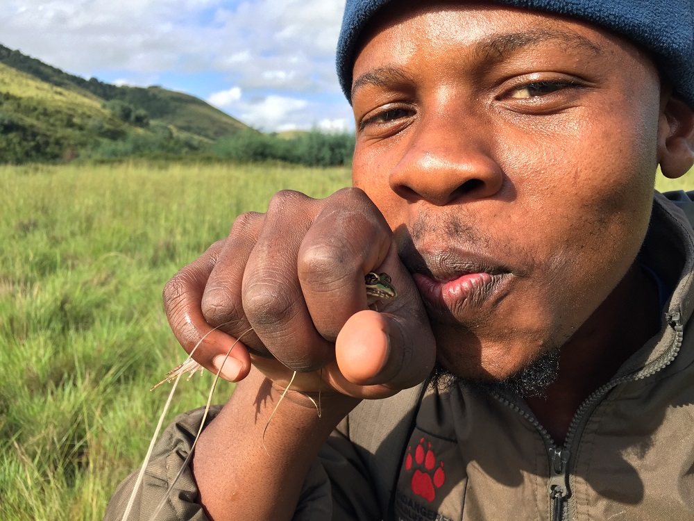
and lots of frogs.
As the sun began to set over the picturesque hills, we realised we were chasing the clock to reach our final point before dark. The flying ants glistened in the dusky light and the temperatures began to drop.
The team finally reached the end at 6:30 pm where we were warmly greeted by Charlie MacGillivray who is both a landowner and the Chairman of the Karkloof Conservancy. Let’s hope Day 2’s stretch of the Karkloof river is kinder to us.
Our sincere thanks to all landowners who gave us permission to walk on their properties today. We thoroughly enjoyed exploring your part of the Karkloof which set the tone for the rest of the journey.